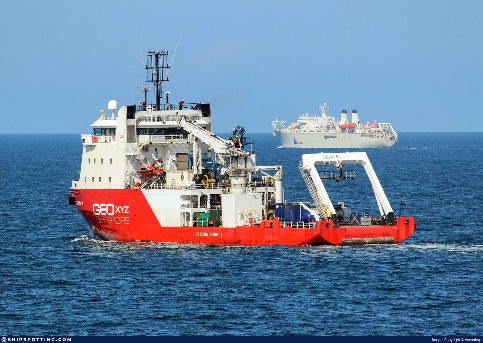
GEOxyz is an independent survey company, founded in 1999, with head office in Zwevegem, Belgium and offices in France, The Netherlands, Spain, UK and USA, specialized in geophysical, geotechnical and arial surveys. As a marine technology driven company, our R&D team of engineers & technicians is continuously working on innovative solutions to improve our competitiveness and to increase the safety of operations within our core business of marine investigations & data collection. Seen the huge amount of data from multiple sensors and for different applications, smart & remote data processing using AI & ML processing techniques is essential.
Our solution-driven approach resulted in the development of enhanced survey systems, which will contribute to the goal of developing new solutions and technologies for mine countermeasures, also focusing on the development of autonomous systems and artificial intelligence (AI) for mine countermeasures, as well as sensor systems, communication- and navigation systems.
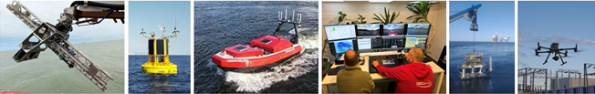
- UXO identification & clearance
With our advanced SILAS-3D system, we can identify subsea objects like cables, pipelines, UXO’s and more. In-house developed classification software enables the identification of these objects.
- Survey & Surveillance
Our MetOcean buoys can be equipped with multiple sensors to monitor offshore sites remotely from onshore locations, enhancing safety and security.
- Autonomous Surface Vehicles (ASV) | Marine drones
The in-house developed ASV’s are equipped with versatile sensor arrays, allowing for seamless control and operation from a mothership or from an onshore control centre. This approach offers a more environmentally friendly, secure, and efficient means of gathering marine datasets.
- Aerial monitoring
Leveraging our fleet of in-house aircraft and aerial drones, we conduct comprehensive visual inspections and thermal imaging to effectively survey offshore sites.